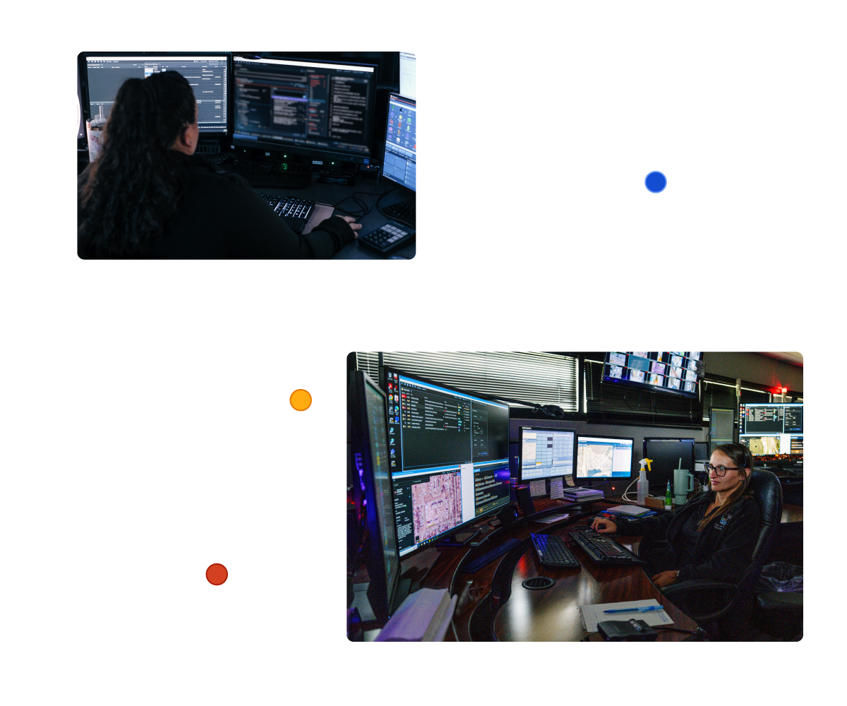
Mark43 Computer-Aided Dispatch

Save critical seconds with premier emergency dispatch

Dispatching and responding in the field means high stakes with little space for mistakes, requiring best-in-class tech with what it takes to stay safe.

Dispatcher wearing a headset and glasses, working in a control room with screens in the background.

The Best-Designed
CAD Available

When every second matters, you don’t want to second-guess your software. Mark43 CAD operates as a natural extension of the dispatcher, call taker, and in-field first responder during an emergency response. Built to mirror your instincts and match the urgency of the moment, our CAD amplifies your situational awareness by giving you crucial data for a swift, safe response to scenes.

A screen displaying a nearby caution alert for a dangerous location.

Adaptable to Each Agency

Mark43 CAD is a flexible solution built to handle disparate workflows across devices, jurisdictions, and teams.

Operational Under All Circumstances

Mark43 CAD is fortified with multiple availability zones and top-tier security measures, ensuring uninterrupted operations and 99.95% uptime in the event of extreme weather, cyberattacks, and more.

“With Mark43, our mission-critical systems stay operational during the worst weather conditions. Partner jurisdictions experience significant technology outages, but LSP keeps running.”

-Retired Detective Lieutenant and Project Consultant, Allen Carpenter,
Louisiana State Police

Louisana State Police Badge

Life-Saving Integrations

Equipped for Every Emergency

Box displaying dispatch unit recommendations floating in front of dashboard

dispatch

Filter out the noise and figure out what’s needed.

Easily Access Critical Information during Critical Incidents

Best-in-class GIS

Smart Unit Recommendations

Accelerate Workflows

Integrated Data Exchange (DEx)

First Responder

The vital details you need on scene.

See a direct window into our CAD for enhanced awareness and eased data collection, accessing call histories, location cautions, associated and involved persons and vehicles, and geospatial data via our Automatic Vehicle Locator (AVL) map.

Engineered for Autonomy

On-Scene Data Collection

Untethered, On-the-Go Access

GPS Tracking for Officer Safety

Box listing structure fire information floating in front of dashboard

Resources at the Ready

Learn how we improve the quality of life and public safety for communities worldwide.

Blog
California faces unique public safety challenges, from earthquakes and wildfires to rising cyberattacks. Local public safety...
Blog
APCO 2024 brought together public safety professionals, technology experts, and innovators from across the country to explore...
Blog
This summer, Mark43 hosted an exceptional group of 11 interns, offering meaningful projects, mentorship, and valuable insights...