


Customer Story
From Dead Zones to Real-Time Awareness: How Mariposa County Sheriff’s Office Modernized Policing with Mark43

Customer Story
Tucked in the heart of California’s Sierra Nevada, Mariposa County spans vast stretches of foothills and mountains. The county’s sweeping terrain creates communication and logistical hurdles, with dead zones of unreliable radio and cell reception.
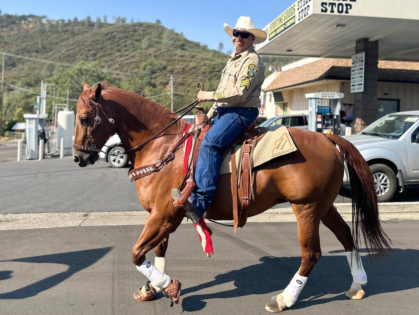
Led by Sheriff Jeremy Briese, the Mariposa County Sheriff’s Office (MCSO) is the county’s only law enforcement agency, with 50 sworn deputies and 10 dispatchers. The team responds to every call for service across the county while also managing civil matters and coroner duties inside Yosemite National Park, where they work closely with the Department of the Interior (DOI), a Mark43 customer.


Prior to adopting a cloud-native public safety solution, the MCSO faced a combination of unique challenges that impacted the safety, efficiency, and ability to serve the community effectively.
The legacy on-premises system was outdated, fragmented and required constant patches and manual updates. This led to operational inefficiencies and end user frustration. Mike Charman, Patrol Lieutenant at the Mariposa County Sheriff’s Office shared, “Our previous system wasn’t web-based so it was constantly needing updates. Everything from street addresses to officer names needed to be manually entered and pre-loaded each time a report was written, or a call was dispatched. The CAD and RMS systems didn’t communicate which led to a lot of redundant data input. After taking a 911 call, dispatch would need to go into the RMS system and physically research that address to get information to our deputies. It just made it very difficult to be efficient in our work.”
One of the most pressing issues was officer safety. Given the county’s remote geography, deputies regularly worked in areas with no radio or cell coverage, which impacted the ability to track deputies in real-time. “Because of the gaps in radio and cell reception, it could take a few minutes to get a hold of a deputy and then assign them to a call. We had no way to reach them or locate the closest unit for dispatch,” shared Lt. Charman. This lack of visibility created an environment where accidents could occur and dispatchers were unable to provide immediate assignments during emergencies.
Dispatchers were similarly burdened by the outdated technology. The lack of situational awareness created unnecessary delays in response.
“A dispatcher might assign a deputy to a call without realizing another deputy is 15 minutes closer. At the same time, the closer deputy would not have even known about the call if they were in an area with no radio reception.”
—Lt. Mike Charman
In regards to analytics, everything was done manually. Dispatchers carried the time-consuming responsibility of compiling and publishing daily call logs to the County website.
The legacy system could not keep pace with operational needs and outdated workflows left deputies and dispatchers at risk, frustrated and without the tools they needed.
")

MCSO formed a cross-functional committee to identify the best technology solution, including deputies, detectives, supervisors, dispatchers and administrators. By ensuring executives and frontline users were active in the search, MCSO conducted a robust research, evaluation, and procurement process, culminating in its selection of Mark43 to upgrade its technology. In July 2024, the MCSO deployed Mark43’s end-to-end, AI-enabled and cloud-native public safety platform, inclusive of Mark43 CAD, RMS, OnScene and Analytics.
To ensure an effective implementation and robust training, Mark43 was onsite supporting each step of the way. “In law enforcement, there will always be some resistance around change. We made the initial mistake a lot of agencies make, trying to configure the new Mark43 system to our old system. The Mark43 team was very good at guiding us in the right direction. They struck the right balance between helping us modernize and respecting how we needed to transition,” said Lt. Charman.
The hands-on support made a strong impression on deputies and dispatchers. “Having Mark43 onsite, working with our deputies and dispatchers during the implementation and go-live made all the difference. They were fun to work with, very helpful and extremely patient, which is key,” said Lt. Charman.
“The first night we went live, we had a pursuit in a very rural area. For the first time we could track our deputy in real-time. We were able to capture the exact route and speed, data that’s nearly impossible for dispatch to record over the radio. It captured everything instantaneously and allowed us to relay that information to neighboring agencies so units could get to the scene that much quicker and safer.”
—Lt. Mike Charman
That first pursuit proved how transformative the new software would be.
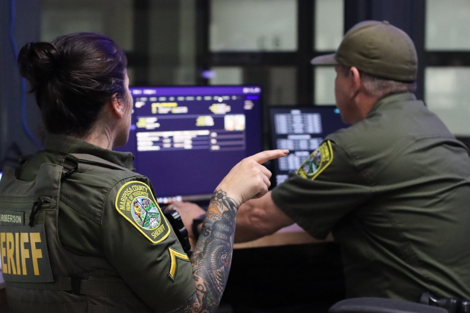
With Mark43’s advanced AVL mapping in both CAD and the mobile OnScene application, deputies’ real-time locations remain visible even in dead zones. This ensures units remain in view while giving deputies critical, real-time information at their fingertips. Lt. Charman shared: “Previously, when we lost radio contact, we had limited visibility into where our deputies were. Now with Mark43 CAD, we can still see their location on the map and quickly send support if needed. With OnScene, our deputies have real-time information at their fingertips so they can effectively position themselves to secure the scene, avoid crossfire issues and any other safety hazards.”
In addition, MCSO has now re-established its B-Lines and zones, creating safer perimeters for deputies and community members. “We can take the real-time information from Mark43 to strategically restructure our zones so we can position our units more effectively on the map to respond to calls for service quicker,” said Lt. Charman.

Using Mark43 CAD, deputies can now self-initiate calls, reducing dispatcher workload and AVL data ensuring the closest unit is dispatched.
“We’re able to dispatch more efficiently now that deputies have the ability to initiate their own call for service.”
—Lt. Charman
Leveraging Mark43’s cloud-native RMS and mobile functionality within OnScene and First Responder, deputies can complete reports on-the-go.
“With a click of a button in First Responder, deputies go straight from answering the call for service into knocking out their report in RMS while in the field. It makes everything so much quicker.”
—Lt. Charman
With Mark43 Analytics, weekly dashboards automatically track calls and are shared in real-time with supervisors, enabling smarter patrol, staffing and budget planning.
“Being able to analyze and pull different information for data-driven decision making has been huge. That didn’t exist in our old system at all. We now have a dashboard that captures our number of calls for service, where they were, what times of day they were. It automatically populates and is sent to all our supervisors on a weekly basis so we can adjust our patrol responsibilities accordingly. The sky is the limit with Mark43’s data capabilities.”
—Lt. Charman

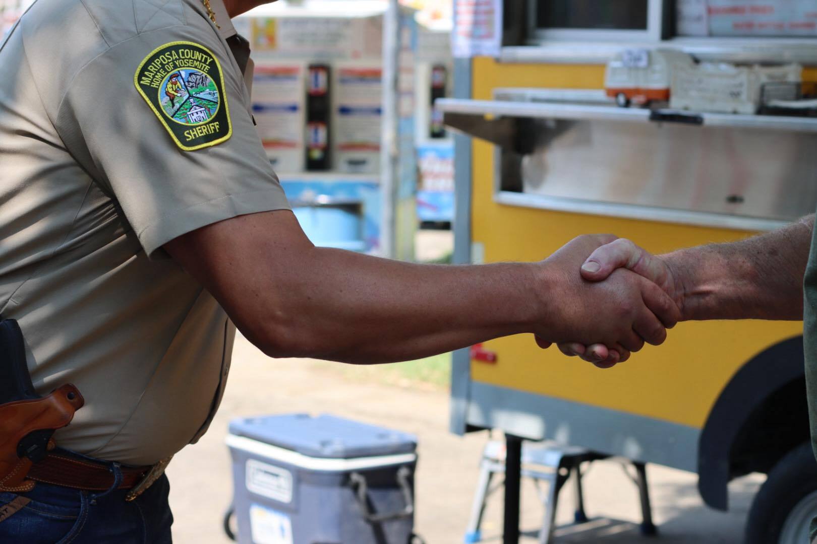
MCSO is developing a memorandum of agreements with neighboring agencies to expand regional collaboration. “About 50% of our borders operate on the Mark43 platform. We’re looking forward to strengthening our coordinated response and information sharing,” said Lt. Charman. As visitor volumes across Mariposa County grow, the agency is better equipped than ever to protect both residents and tourists. In addition, MCSO anticipates better data sharing and improved response with DOI.
“We’re excited about DOI making the switch to Mark43. With our joint duties keeping visitors to Yosemite safe, we foresee it improving our ability to share data, communicate and collaborate more efficiently.”
—Lt. Charman
Public logs are automatically generated daily, saving dispatchers hours of manual work and improving overall crime reporting and trends identification to the public.
“Instead of having our dispatchers manually pore through the day’s call for service, Mark43 does it all for
us. With the click of a button, we can upload the daily report to the county website for enhanced transparency with the public. It gives dispatch a tremendous amount of time back so they can focus on answering 911 calls.”—Lt. Charman

The transition provided immediate relief from the county’s heavy IT burden. By migrating to a cloud-based system, the MCSO eliminated the need for costly server maintenance and upgrades.
“From an IT and security perspective, Mark43 is a true partner. They are constantly partnering with our team to troubleshoot issues and roll out new updates to ensure operational continuity and seamless maintenance. Having everything in the cloud is a lot easier.”
—Lt. Charman
Mark43 is the trusted leader in public safety technology, providing a secure, all-in-one platform for agencies to save time, stay compliant, and ensure community safety.